Digital Orthophoto Quadrangle
DOQs
- Category: Aerial-photography
- Data Type: Imagery
- Steward(s): UGRC
- Web Application: View
- Abstract: A Digital Orthophoto Quadrangle (DOQ) is a digital image that has the properties of an orthographic projection, derived from a digitized perspective aerial photograph or other remotely sensed image data by differential rectification so that image displacements caused by camera tilt and terrain relief are removed. The DOQ combines the image characteristics of the original photograph with the georeferenced qualities of a map. Ground features are displayed in their true position, allowing for the direct measurement of distance, areas, angles, and positions.
2003 Color DOQs
UGRC has 1-meter color DOQs for most of Iron and Beaver counties from 2003. The Iron and Beaver county color DOQs are in a UTM NAD83 projection.
Related Resources
Comments, questions, compliments, or concerns can be directed to Rick Kelson from UGRC at RKelson@utah.gov.
Downloads and Web Services
Updates
- 2003
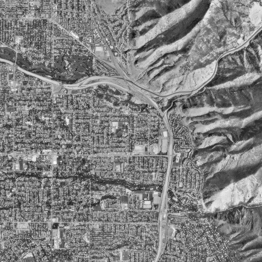
Mid 1990's Black and White DOQ
UGRC has a statewide coverage of 1-meter resolution Black and White Digital Orthophoto Quads (DOQs). All tiles
have a UTM NAD83 Zone 12 North meters projection. The .jpg files are usually between 30 to 40 MB.
The .met file is all the original header information from the image and contains the dates
the images were flown and photographed. Some DOQs have 2 vintages of dates the images were flown. Usually one
image will be from 1993 and another 1997 or newer. Refer to Find_a_DOQ.txt for quadrangle names and associated UGRC Q number.
Related Resources
Comments, questions, compliments, or concerns can be directed to Rick Kelson from UGRC at RKelson@utah.gov.
Downloads and Web Services
Updates
- Mid 1990's
1977 Black and White DOQs
UGRC has a complete 1-meter Black and White Salt Lake County DOQ coverage from 1977. The DOQs are available as single quads and also as a Mr.Sid county mosaic. The Salt Lake County 1977 DOQs are in a UTM NAD83 projection.
Related Resources
Comments, questions, compliments, or concerns can be directed to Rick Kelson from UGRC at RKelson@utah.gov.
Downloads and Web Services
Updates
- 1977
1970s 1 Meter Color and Infrared DOQs
UGRC has 1-meter color and infrared imagery from the BLM collected in the 1970s. This is not a statewide coverage. The image tiles have a UTM NAD83 projection.
Related Resources
Downloads and Web Services
Updates
- 1970
1936-1952 Soil Conservation Service (SCS) Photomaps
UGRC has 1-meter Black and White Soil Conservation Service (SCS) Photomaps from 1936-1952. This is not a
statewide coverage. The Photomaps have a UTM NAD27 projection. The date the photo was taken can be found for some
of the tiles in the Year field of the tile-index.
Related Resources
Downloads and Web Services
Updates
- 1936-1952