High Resolution Orthophotography
HRO
- Category: Aerial-photography
- Data Type: GeoTIFF
- Steward(s): UGRC
- Web Application: View
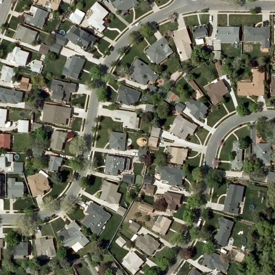
- Abstract: High resolution orthorectified images combine the image characteristics of an aerial photograph with the geometric qualities of a map. An orthoimage is a uniform-scale image where corrections have been made for feature displacement such as building tilt and for scale variations caused by terrain relief, sensor geometry, and camera tilt. A mathematical equation based on ground control points, sensor calibration information, and a digital elevation model is applied to each pixel to rectify the image to obtain the geometric qualities of a map.
2012
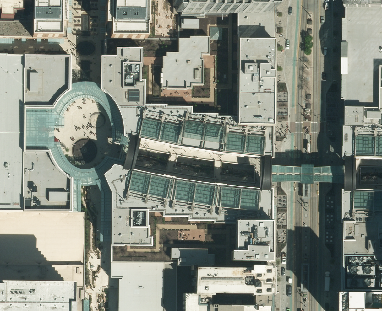
UGRC has High Resolution Orthophotography (HRO) 6-inch (12.5 cm) resolution 4-band aerial photography from 2012
for the Wasatch Front. Although the imagery is generically referred to as 6-inch imagery it is actually 12.5
centimeter or 4.92 inch resolution. The imagery in the Uintah Basin is 1-foot resolution. The GeoTIFF images are
approximately 175 mb per 2000x2000 meter block. The images have a UTM NAD83 meters projection and are from the
spring of 2012. The .XML files contain the metadata for the imagery and CALDATE contains
the date the imagery was flown and collected. The flight date of the Uintah Basin 1-foot imagery is June 4th,
2012.
The image tile boundaries can be viewed in this HRO2012
Index shapefile. The index also contains the field USNG that corresponds to the image tile
names.
The naming convention for the imagery tiles is based off the U.S. National Grid (USNG). Utah is in USNG grid zone 12T and 12S.
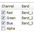
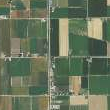
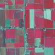
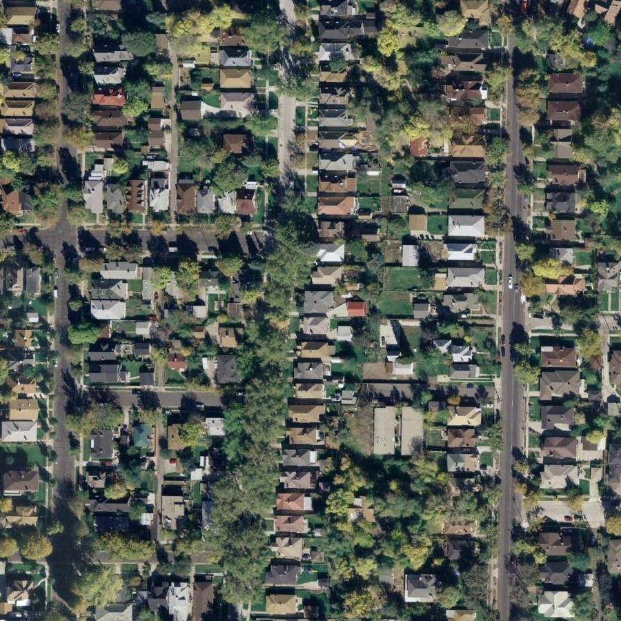
To display the 4-band images as a color infrared (CIR) or a false color image in ArcMap, use the
Layer Properties->Symbology tab. Change the Red Channel to Band_4, Green to
Band_1, and Blue to Band_2. (example below)
|
|

|
|
Downloads
Related Resources
- If you are having problems with the imagery from UGRC, read this document before contacting us.
Comments, questions, compliments, or concerns can be directed to Rick Kelson from UGRC at RKelson@utah.gov.
2009
UGRC has High Resolution Orthophotography (HRO) 1-foot (25 cm) resolution color aerial photography from 2009 for
the Wasatch Front, Canyonlands National Park, and Moab. Although the imagery is generically referred to as 1-foot
imagery it is 25 centimeter or 9.84 inch resolution. The GeoTIFF images are approximately 15 mb per 2000x2000
meter block. The images have a UTM NAD83 meters projection and are from the spring of 2009. The .XML
files contain the metadata for the imagery and CALDATE is the date the imagery was flown and
collected.
The image tile boundaries can be viewed in this HRO2009 Index shapefile. The naming convention for the imagery tiles is based off the U.S. National Grid (USNG). Utah is in USNG grid zone 12T and 12S.
Downloads
Related Resources
- If you are having problems with the imagery from UGRC, read this document before contacting us.
Comments, questions, compliments, or concerns can be directed to Rick Kelson from UGRC at RKelson@utah.gov.
2006
UGRC has High Resolution Ortho-Photography (HRO) 1-foot (25 cm) resolution color aerial photography from 2006 for
many areas across the state of Utah. Although the imagery is generically referred to as 1-foot imagery it is 25
centimeter or 9.84 inch resolution. The GeoTIFF images average 50 mb per 4000x4000 meter block. The images have a
UTM NAD83 meters projection and are from 2006. Some tiles are incomplete and have black areas as a result
of the proximity to the flight boundary. The .XML files contain the metadata for the
imagery and CALDATE contains the date the imagery was flown and collected.
The HRO2006 Index shapefile can be used to determine what images to download. The naming convention for the imagery tiles is based off the U.S. National Grid (USNG). Utah is in USNG grid zone 12T and 12S.
Downloads
Related Resources
- If you are having problems with the imagery from UGRC, read this document before contacting us.
Comments, questions, compliments, or concerns can be directed to Rick Kelson from UGRC at RKelson@utah.gov.
2003
UGRC has Urban Area Ortho-Imagery (UAO) 1-foot resolution color aerial photography from 2003 for the Wasatch Front north of Utah County.
The UAO
Index shapefile can be used to determine what images to download. The images have a UTM NAD83 meters
projection and are from 2003. Image flight dates can be found in the .xml file of the associated
image tile. The naming convention for the imagery tiles is based off the U.S. National Grid (USNG). Utah is in USNG grid
zone 12T and 12S.
Related Resources
- If you are having problems with the imagery from UGRC, read this document before contacting us.
Comments, questions, compliments, or concerns can be directed to Rick Kelson from UGRC at RKelson@utah.gov.