2011 1 Meter LiDAR Elevation Data
2011 1 Meter LiDAR Elevation Data
- Category: Elevation-and-terrain
- Data Type: img and las format LiDAR
- Steward(s): UGRC
- Web Application: View
- Abstract: UGRC has 1 meter LiDAR in
.imgand.lasformat for various areas of the state collected during 2011.
1 Meter LiDAR
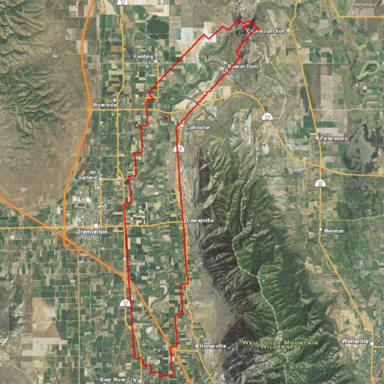
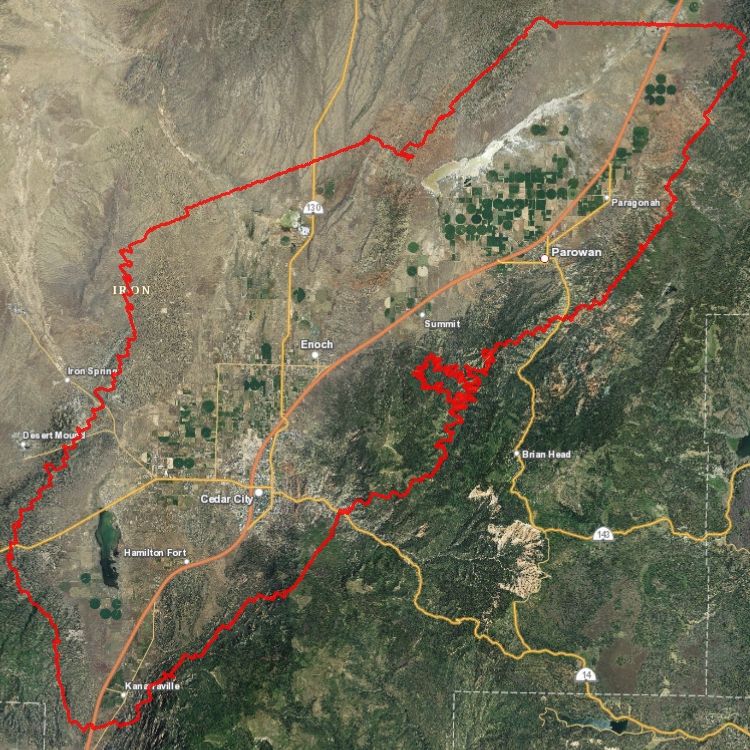
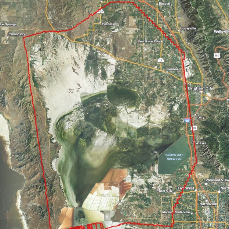
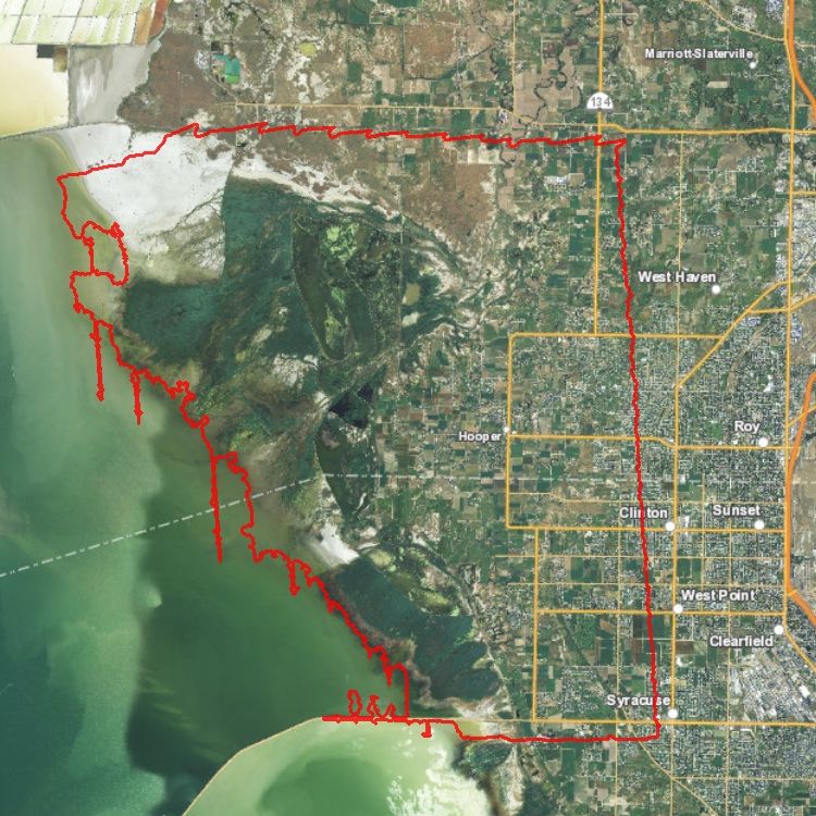
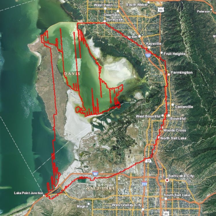
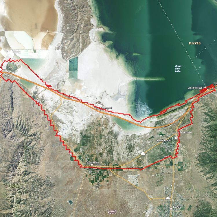
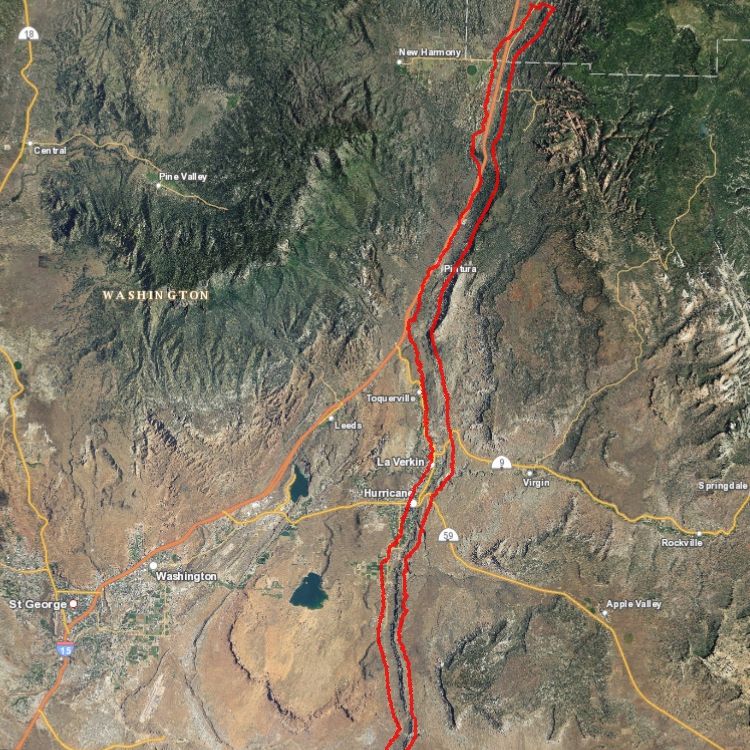
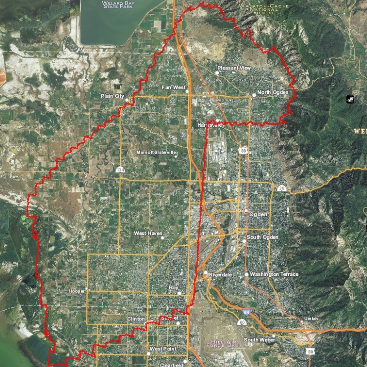
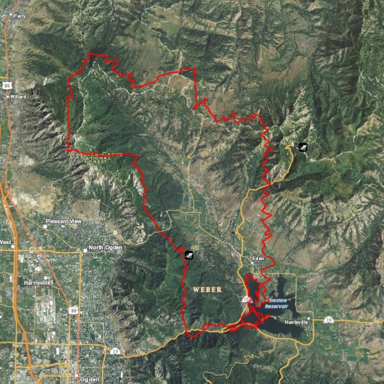
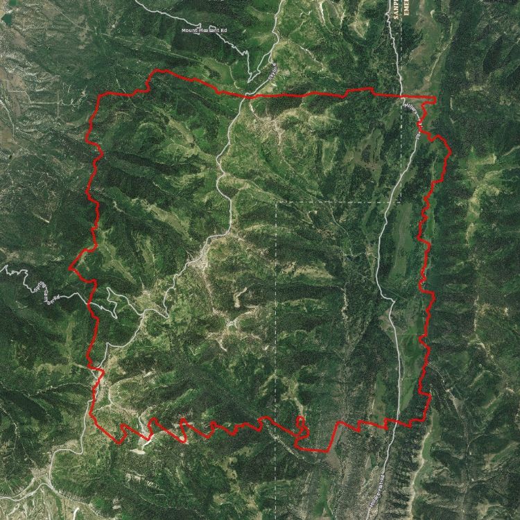
The DEMs are available for download but the DSM and .85 meter classified point clouds are available by request from Rick Kelson from UGRC at RKelson@utah.gov or from Open Topography. The areas include the north, east, and south sides of the Great Salt Lake, Cedar Valley, Hurricane Fault, and more.
Use this geodatabase
or this collection of shapefiles
containing the tile indices and boundaries to determine what imagery files to download. The LiDAR
DEM files are in a .img format and are around 10 mb per 2,000x2,000 meter block. This data
has a UTM NAD83 NAVD88 Meters zone 12 Geoid 08 projection.
Comments, questions, compliments, or concerns can be directed to Rick Kelson from UGRC at RKelson@utah.gov.
Related Resources
Downloads and Web Services
Updates
- 2011