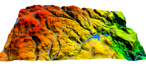
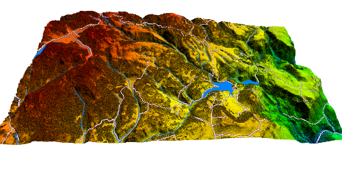
2016 Monroe Mountain LiDAR Elevation Data
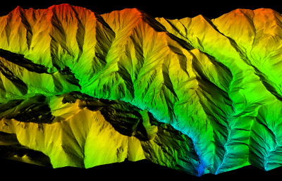
 During the Summer of 2016 UGRC and the U.S. Forest Service acquired 292 square miles of 8 points per meter Quality Level 1 LiDAR on Monroe Mountain in central Utah. The acquisition took place with leaf-on conditions to model the forest canopy in addition to ground elevations. The .5 meter resolution bare earth DEMs and first-return/highest-hit DSMs in .tif format have a 10.0cm vertical RMSE accuracy and are available for download. The LAS classified point clouds are available from The National Map, Open Topography, or by request from Rick Kelson from UGRC at RKelson@utah.gov. This elevation data was collected between Aug. 27 and Sept. 11, 2016 and has a UTM NAD83 (2011) zone 12 north meter NAVD88(GEOID12) projection.
- Retrieve 2016 Bare Earth DEMs and First Return DSMs via Interactive Map
- Download project Reports and Metadata
- Download shapefiles of project area, tile indices, and breaklines
The naming convention for the tiles are based off the U.S. National Grid (USNG).
This elevation data has a UTM NAD83 (2011) zone 12 north meters NAVD88(GEOID12) projection.
Comments, questions, compliments, or concerns can be directed to Rick Kelson from UGRC at RKelson@utah.gov.