2019 Strawberry River LiDAR Elevation Data
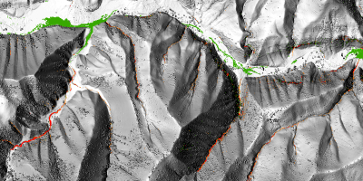
 During 2019 UGRC and the Utah Reclamation Mitigation Conservation Commission (URMCC) acquired ~92 square miles of 8 points per meter Quality Level 1 LiDAR and 10cm 4-band aerial photography of the Strawberry River, from Soldier Creek Dam to The Pinnacles, after the Dollar Ridge Fire in 2018. The .5 meter resolution bare earth DEMs and first-return/highest-hit DSMs in .tif format have a 10.0cm vertical RMSE accuracy and are available for download. The LAS point clouds, colorized and classified to ground, are available from The National Map or by request from Rick Kelson from UGRC at RKelson@utah.gov. This elevation data was collected August 15-18, 2019 and has a UTM NAD83 (2011) zone 12 north meters NAVD88(GEOID12) projection.
- Retrieve 2019 Bare Earth DEMs, First Return DSMs, and Aerial Photography via Interactive Map
- Download project Reports and Metadata
- Download shapefiles of project area, tile indices, and breaklines
The naming convention for the tiles are based off the U.S. National Grid (USNG).
This elevation data has a UTM NAD83 (2011) zone 12 north meters NAVD88(GEOID12) projection.
Comments, questions, compliments, or concerns can be directed to Rick Kelson from UGRC at RKelson@utah.gov.