Exploring LiDAR
Light Detection and Ranging elevation data is an optical remote sensing technology that can measure the distance to, or other properties of a target by illuminating the target with light pulses from a laser and measuring the time and intensity of the pulse return to the sensor. Laser pulses from the sensor can exceed 150,000 pulses per second. Aircraft position (X,Y,Z) is measured twice a second while aircraft attitude (pitch, roll, yaw) is measured 200 times per second. Currently this is the most accurate type of elevation data available. There are two main types of LiDAR collections, Terrestrial and Airborne. Airborne LiDAR is most commonly used and available from UGRC.
UGRC Utah LiDAR applications video from UGRC on Vimeo.
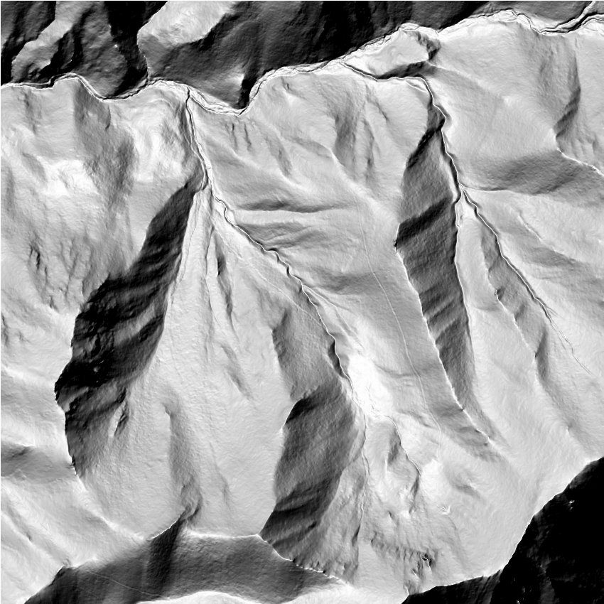
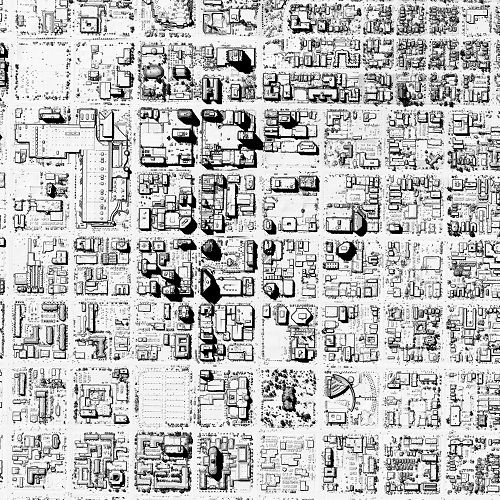
Bare-Earth Digital Elevation Models (DTM) and First-Return Digital Surface Models (DSM) are commonly used raster products derived from LiDAR point cloud collections. Bare-Earth DEMs have had features above the ground filtered out and are what is typically used for floodplain and hydro-logic modeling. First-return (highest-hit) raster products model a surface but retain the features above the ground such as buildings, utilities, other manmade structures and vegetation.
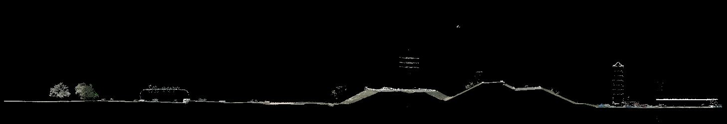
 LiDAR point clouds can be classified so that each point in the cloud is designated a land cover type (ex. ground,
water, road, building, vegetation, etc.). The vendor for the 2013-2014 Wasatch Front LiDAR project, Watershed Sciences Inc. (WSI) now a Quantum Spatial company, has provided the following samples that
show some of what can be done with the collected LiDAR data. Please note that while the sample data below contains LAS
point cloud data that are fully classified, the point clouds delivered for the project only has the following
classifications (including intensity, return number, and RGB values), yet further classification of the point cloud is
possible:
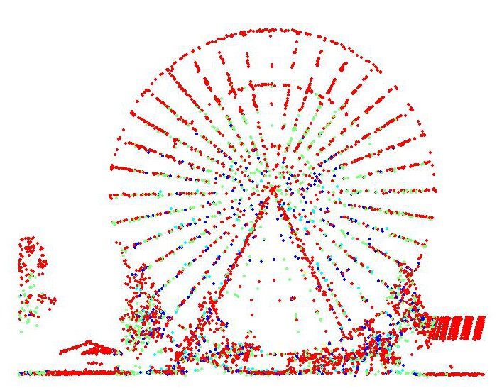
LiDAR point clouds can be classified so that each point in the cloud is designated a land cover type (ex. ground,
water, road, building, vegetation, etc.). The vendor for the 2013-2014 Wasatch Front LiDAR project, Watershed Sciences Inc. (WSI) now a Quantum Spatial company, has provided the following samples that
show some of what can be done with the collected LiDAR data. Please note that while the sample data below contains LAS
point cloud data that are fully classified, the point clouds delivered for the project only has the following
classifications (including intensity, return number, and RGB values), yet further classification of the point cloud is
possible:
| Code | Description |
| 1 | Processed, but unclassified |
| 2 | Bare-earth ground |
| 7 | Noise |
| 9 | Water |
| 10 | Ignored Ground (Breakline proximity) |
| 11 | Withheld |
Lidar Samples
- LiDAR Applications
- LiDAR Applications Video
- Download LiDAR derivative samples package (ArcMap users)(CAD users)
Lidar Resources
- UGRC Elevation and Terrain Data
- Dumbing Down Terrain with Contour Polygons
- Working with Mosaic and Reference Datasets
- The National Map
- Open Topography
- ArcGIS 3D Community
- rapidlasso
- Fugro LiDAR Viewer
LiDAR collections, derivative products and analytics are numerous and can include:
- bare-earth raster elevation models *
- first-return (aka Highest-Hit) raster elevation models *
- point cloud (with varying levels of point classification) *
- laser pulse intensity images *
- contour lines
- building footprints
- vegetation metrics
- hydrology modeling
- landslide potential
- solar potential
- 3D modeling
* - products delivered for the 2013-2014 Wasatch Front project
If you are a CAD / Microstation user you may need to convert the .img files into a
different file format such as .tif or .las. A web search for AutoCad and .img
will produce helpful results or search user forums. You will find discussions about converting the .img
format to a format you can use. There are many tools that can convert the files - FW Tools and ER Viewer (free),
Global Mapper (trial version), MyGeodata Cloud, and ArcMap to name a few.
Comments, questions, compliments, or concerns can be directed to Rick Kelson from UGRC at RKelson@utah.gov.