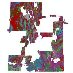
Soil Types
- Category: Geoscience
- Data Type: GIS Data Layer
- Steward(s): U.S. Department of Agriculture, Natural Resources Conservation Service
- Abstract: Soil Types represent the extent of defined soil types throughout Utah. The dataset was created by digitizing maps, compiling information onto a planimetric correct base and digitizing or revising digitized maps using remotely sensed and other information. It is generally the most detailed level of soil geographic data developed by the National Cooperative Soil Survey.
Soil Types
All surveys areas have their own tables which are not interchangeable. All sets of tables are found at the NRCS Soil Mart.
Comments, questions, compliments, or concerns can be directed to the staff from UGRC at ugrc@utah.gov or 801-538-3665.
Downloads and Web Services
Updates
- 2008