United States National Grid (USNG)
- Category: Indices
- Data Type: GIS Data Layer
- Steward(s): UGRC in partnership with the Center for Interdisciplinary Geospatial Information Technologies, Delta State University, Cleveland Mississippi 38733
- Abstract: This dataset contains GIS mapping data representing the 1000m X 1000m United States National Grid (USNG) for Utah.
United States National Grid (USNG)

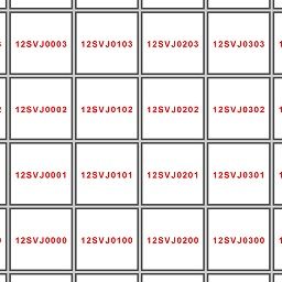
National Grid is a polygon dataset of United States National Grid 1000 meter x 1000 meter grid polygons constructed by the Center for Interdisciplinary Geospatial Information Technologies at Delta State University with support from the US Geological Survey under the Cooperative Agreement 07ERAG0083. For correct display, please set the base coordinate system and projection such that it matches the UTM zone for which these data were constructed using the NAD 83 datum. Further information about the US National Grid is available from https://www.fgdc.gov/usng and a viewing of these layers as applied to local geography may be seen at the National Map.
Each polygon contains the following attribute fields:
- USNG - the fully qualified U.S. National Grid number coordinate describing the lower left corner of a 1000m x 1000m polygon
- GRID1MIL - USNG Grid Zone Designator (GZD)
- Grid100K - 100,000 meter USNG square ID
- Easthing - lower left Easting of the 1000 meter USNG box
- Northing - lower left Northing of the 1000 meter USNG box
The native spatial reference for this dataset is UTM Zone 12N, NAD83. There are no constraints or warranties with regard to the use of this dataset. Users are encouraged to attribute content to: State of Utah, SGID and The Center for Interdisciplinary Geospatial Information Technologies, Delta State University, Cleveland Mississippi 38733.
Related Resources
Comments, questions, compliments, or concerns can be directed to Rick Kelson from UGRC at RKelson@utah.gov.
Downloads and Web Services
Updates
- 2018