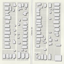
Building Footprints
- Category: Location
- Data Type: GIS Data Layer
- Steward(s): UGRC
- Abstract: Building footprints of Utah showing the perimeter of a building where it meets the ground.
Building Footprints

Buildings was derived from building footprints generated by Microsoft for all 50 States. In some cases the pixel prediction algorithm used by Microsoft identified and created building footprints where no building existed. To flag potential errors, building footprints within 750 meters of known populated areas (PopBlockAreas2010_Approx) and within 500 meters of an address point (AddressPoints) were selected and identified as being a likely structure, footprints falling outside these areas were identified as possible buildings in the 'TYPE' field. In addition, attributes were added for address, city, county, and zip where possible
Downloads and Web Services
Updates
- October 2018