GNIS And Place Locations
- Category: Location
- Data Type: GIS Data Layer
- Steward(s): USGS
- Abstract: The Geographic Names Information System (GNIS) was developed by the U.S. Geological Survey in cooperation with the U.S. Board on Geographic Names (BGN), local governments and other interested organizations. The GNIS contains information about physical and cultural geographic features in the United States and associated areas, both current and historical, but not including roads and highways. The goal of GNIS is to meet major national needs regarding geographic names and their standardization and dissemination.
GNIS 2019

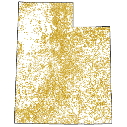
Utah GNIS Place Names contains the latest release of the GNIS dataset for the state of Utah. The dataset consists of point locations with corresponding feature names. All point entities are categorized by feature type.
There are no constraints or warranties with regard to the use of this dataset.
Comments, questions, compliments, or concerns can be directed to the staff from UGRC at ugrc@utah.gov or 801-538-3665.
Related Resources
Downloads and Web Services
Updates
- April 3, 2019
Place Areas (Zoom Locations)

This data contains polygons of commonly used places in mapping. It was created by UGRC from multiple sources
including the GNIS point, municipalities, counties, political districts, zipcodes, etc.. The dataset is named
ZoomLocations since the names and geometries can be used to zoom to common areas on a map with
widgets like Sherlock.
Comments, questions, compliments, or concerns can be directed to the staff from UGRC at ugrc@utah.gov or 801-538-3665.
Downloads and Web Services
Updates
- December 2010