Connect to the Open SGID
The Open SGID is a cloud hosted, publicly available PostGIS database containing our currated SGID data. This database is one part of the SGID and complements the web services and data downloads offered on our Open Data site.
To search the SGID, please visit the SGID Index. To learn more about the data categories available in the SGID, please visit the UGRC data page.
Before you Connect…
- Please take a moment to read over the Open SGID Terms of Use.
- Get familiar with the Open SGID GitHub repository, where you can troubleshoot and track known issues.
How to Connect
There are a variety of clients and applications that can connect to a PostgreSQL database. Here are a few of the more common applications and how to connect with them.
The username and password to use to connect to the Open SGID can be found on the Open SGID GitHub repository.
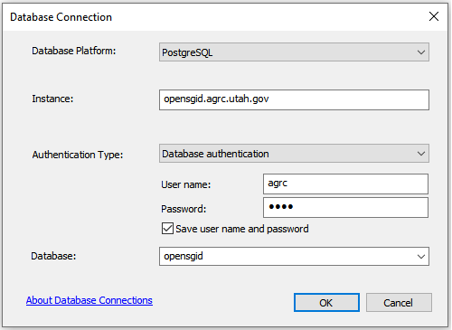
ArcGIS Desktop
-
Open ArcCatalog and
Add Database Connection.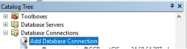
-
Enter the connection information from the Open SGID repository:
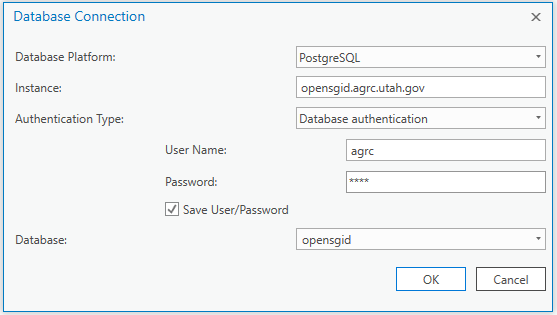
ArcGIS Pro
-
Open the Catalog pane, right-click
Databases, and selectNew Database Connection.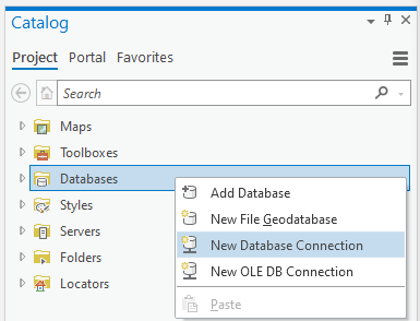
-
Enter the connection information from the Open SGID repository:
DBeaver
-
In DBeaver, click the
New Database Connectionbutton and choosePostgreSQL.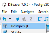
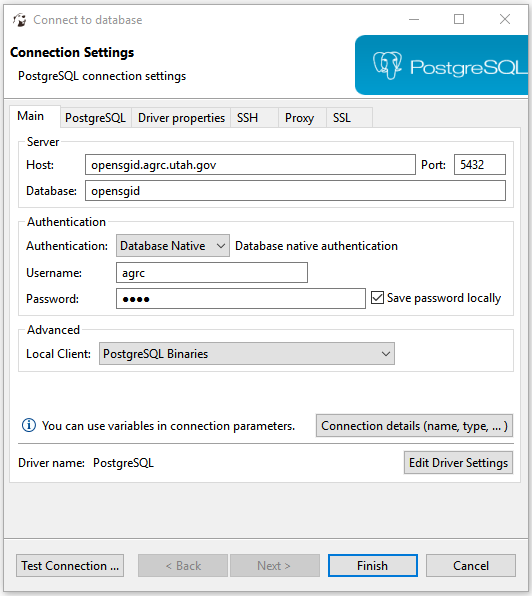
-
Enter the connection information from the Open SGID repository:
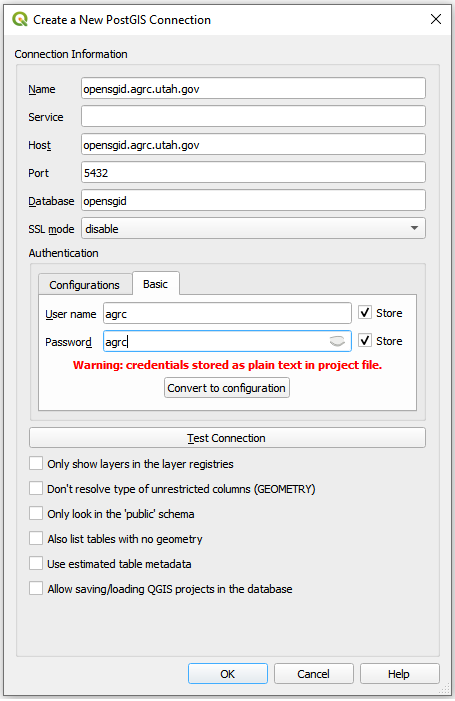
QGIS
-
In QGIS, navigate to the Browser pane and right-click
PostGISthen clickNew Connection....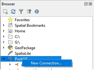
-
Enter the connection information from the Open SGID repository:
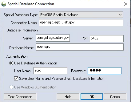
Global Mapper
-
In Global Mapper, click
File, and selectOpen Spatial Database.....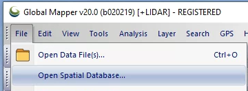
-
Enter the connection information from the Open SGID repository: